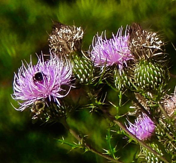
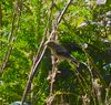
A Yellow Swallowtail butterfly and a bee feed on bull thistles at the north end of the lake, as highway traffic roars past.
In this month’s entry:
Can a Lake’s Lives and the Machinery of the City Coexist?
Record Heat and the Unstoppable Wildfires
St. Clement’s Island: More Potomac History
The July Gallery: More New Sightings of Birds, Dragonflies, Wildflowers, and More

Doe and two fawns in pasture near Columbia Gas substation, below the north end dam, July 20
Can a Lake’s Lives and the Machinery of the City Coexist?
The answer is a clear–but qualified–yes. After all, the swallowtail butterfly in the top video and the deer in the photo above appear to be successfully going about their business of survival in our little lake environment, despite the roar of traffic on the Fairfax County Parkway next door and the petroleum and gas pipelines that run under the lush grass fields beside the lake. Indeed, one could argue that the presence of the pipelines below the lakeside makes it more likely that the lake and its bountiful shorelines will remain a refuge for plants and animals of many kinds. Why? Because safety regulations won’t permit housing or commercial development directly above the pipelines. So, as this line of thinking goes, it’s lucky for Mother Nature and all her beautiful offspring that the fossil fuel pipes are there, as strange as that might sound.
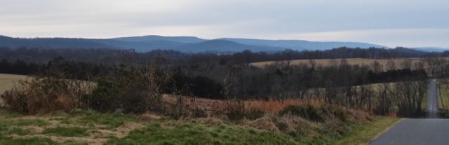
Similarly, zoning also allows the concentration of cell towers and high tension electrical transmission lines along the highway a hundred yards west of the lake, but not above the housing that surrounds much of the lake. So there’s a buffer zone for a few hundred feet that allows the lush greenery and its myriad inhabitants to function relatively unencumbered.

Cell towers and electrical transmission lines west of the lake

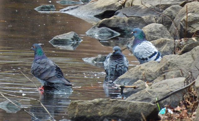
Rock doves in daily perch on electrical towers west of lake
But I did say a qualified yes. Qualified, because the notion that the thousands of creaturely lives in and around our small lake could ever really thrive in the presence of the ever more intrusive forces of human housing, transport, commerce, and pollution, is at best a temporary respite, and at worst, a cruel joke. In every entry of this blog, I use terms like “refuge,” “idyllic,” and “fruitful” to describe this place that Jean and I have come to call home. And it does live up to those terms, but only because of (1) the amazing adaptability of the plants and animals in a changing and challenging environment and (2) the efforts and money of the many humans who built–and every day maintain!– the complex infrastructure that enables this little lake to be a refuge from the surrounding sprawl.
To keep a small reservoir in the midst of a thriving city relatively clean is a feat in itself. To maintain a green and diverse boundary around that lake, from at least 15 feet wide to as many as 100–and to keep it all accessible to every resident–goes against conventional thinking in the US about waterfronts, which are mostly available only to homeowners who pay heavily for access, with no one else allowed. But an open arrangement like that we enjoy also calls on the residents of our community to keep those areas clean and refuse-free, and most of the residents do just that.

Trash at water’s edge, west bank, after a strong rain and inflow the previous day, July 19.
But as one scientific study after another is reporting, our environment is changing because of fossil fuel emissions even more rapidly than prior forecasts predicted, and so the prognosis for a small water-based habitat like ours is dire. Last month’s smoky skies, from the unchecked Canada wildfires, is one dramatic indication of what is to come more frequently. This summer’s record temperatures in much of the world are equally dangerous, not only because of the heat itself, but also because of the effect that warming waters have on ecosystems, coral reefs, currents, and rain patterns.
Our little lake is thick with green algae most of the year now, as you can see in many of my photos, and this will only get worse as waters continue to warm. With air quality continuing to degrade, with fossil fuel burning continuing with little let up, and with species of every kind of creature in decline, how much time can a fragile mini-ecosystem like ours have left?

Inlet stream, southeast lakeside, thick with algae, July 14
All that said, I’m trying hard to maintain a positive, hopeful attitude about our idyllic little refuge, and the many, many places like it across the planet. All the happy things I write and show about this amazing place are still true, and will be true for some time to come. The spirit that enables the birds, bees, turtles, rabbits, and deer to keep on doing what they do will live on, even as they must continue to adapt. The spirit will continue that empowers us who live here and work here to do what’s needed to keep this a beautiful place so full of lives that inspire and teach us.
We know what needs to be done by us as individuals and by local and national policymakers. All we need is the willingness and courage to keep up our efforts despite the determined opposition of those who just won’t give up their addictions to fossil fuels, waste, and over-consumption. Every little bit we can do to lead a healthier lifestyle helps both each of us and the Earth.

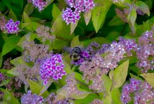
Bee on porcelain berry, east side of lake, July 27

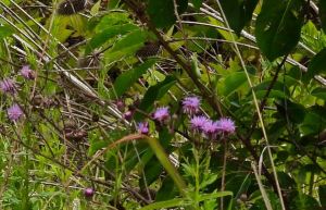
Two more pollinators visiting the bull thistles, July 27
Record Heat and the Unstoppable Wildfires
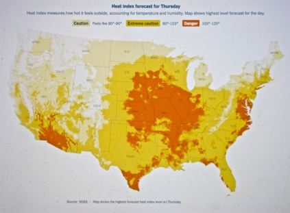
One thing that the Potomac and Sacramento valleys have in common this month is extreme heat. As the NOAA heat tracker (above) shows, we in Virginia are in the most intense heat wave of the summer so far, with heat indexes well over 100 today (July 28) and tomorrow, while Northern California is just coming out of sustained temps over 100 last week and the week before. Of course, July temps over 100 are not strange for the Sacramento Valley–we expect them. Similarly, temps in the 90s are common in July in Virginia.
But what is unprecedented have been the sustained temps over 110 across the Southwest this year. Phoenix, no stranger to temps over 110, has now gone a solid month with daytime highs over 110 (19 in a row was the previous record), with no end predicted. Globally, climate scientists are forecasting 2023 to be the hottest year on record.

Firefighters battle brush fire in extreme heat in Santa Clarita, CA, July 27 (LA Times)
National Public Radio quoted one of the scientists who conducted the most recent global heat research:
“”Without climate change we wouldn’t see this at all or it would be so rare that it would basically be not happening,” said Friederike Otto, a climate scientist at Imperial College London who helped lead the new research as part of a collaborative group called World Weather Attribution.
“El Niño, a natural weather pattern, is likely contributing to some of the heat, the researchers said, “but the burning of fossil fuels is the main reason the heatwaves are so severe.””
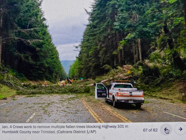
What is also unprecedented have been the remarkable number of wildfires across the northern tier of Canada since the spring and ongoing through the summer. As in California’s increasingly devastating experience with wildfires over the past few years, most of these fires rage in remote mountainous areas that are extremely difficult for firefighters to reach. As a result, most of these fires rage on uncontained.

Wildfire in far northern Canada, July (Google images)
We in the US, including here in Virginia, where we never thought we’d have to deal with these climate disasters, have contended with hazy, smoky skies since June whenever the wind blows from the north. More northern states , like those along the Great Lakes, experience these days much more often. But the smoky skies have affected states as far south as Georgia. As the fires rage on, we will have more such days coming.
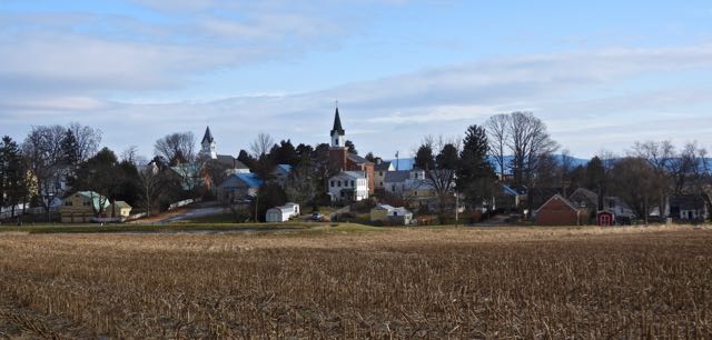
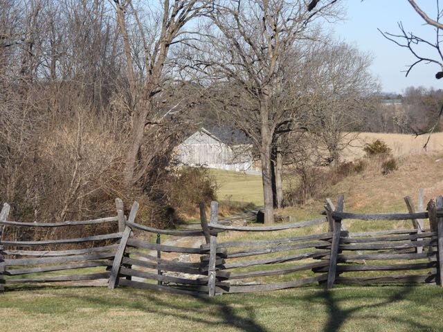
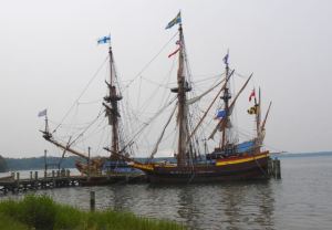
St. Clement’s Island: More Potomac History
St. Clement’s Island, where the 1634 refugees first landed

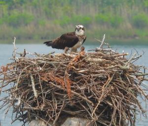
Osprey in nest at Port Tobacco on our way to St. Clement’s, July 24
We took another one-day overnight trip to Southern Maryland this week, back to St. Mary’s City and to the tiny Potomac island, St. Clement’s, where the English refugees temporarily landed before settling in the larger cove downriver. Unlike the smoky grey skies that we encountered on June 6 in St. Mary’s, owing to the Canadian wildfires, we had blue skies and scudding white clouds on this short trip.
At the excellent small museum on the mainland adjacent to the island, we learned that it was the native Yaocomico on St. Clement’s who advised the crew and passengers to go to the safer mooring of the protected cove a few miles distant. The choppy waves we saw around St. Clement’s showed the wisdom of this advice.
Among its other treasures, the museum contains a 19th century wall-size rendering of the landing of the English refugees at St. Clement’s, plus a list of the settlers, including Jean’s ancestor, John Nevill.

19th century painting of arrival of English refugees at St. Clement’s Island, 1634
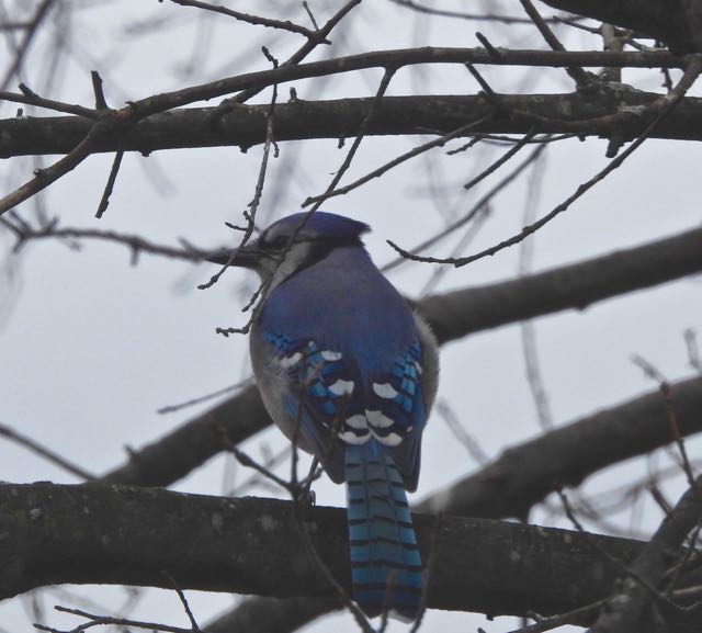
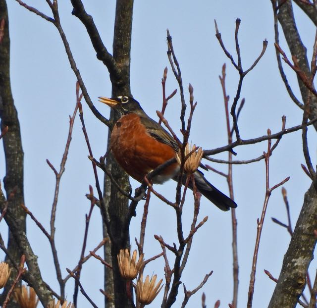
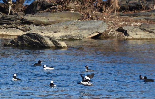
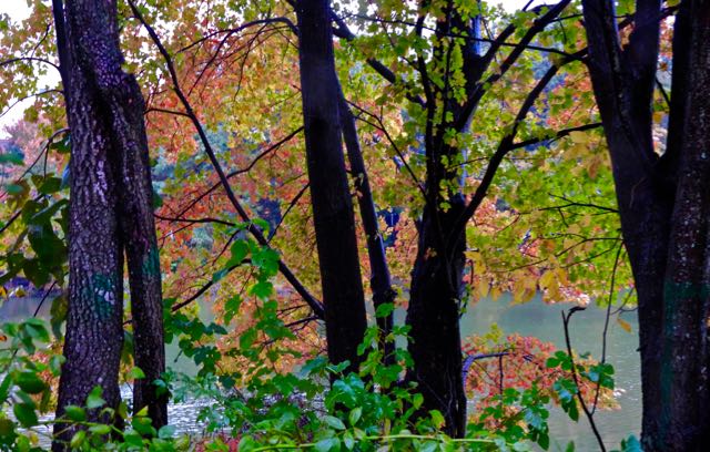
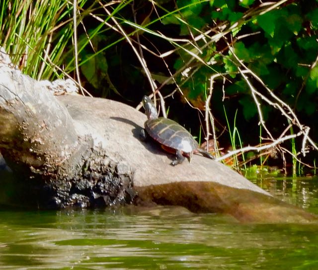
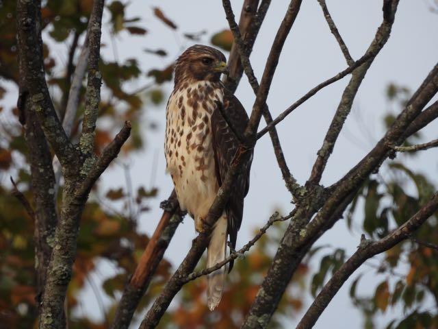
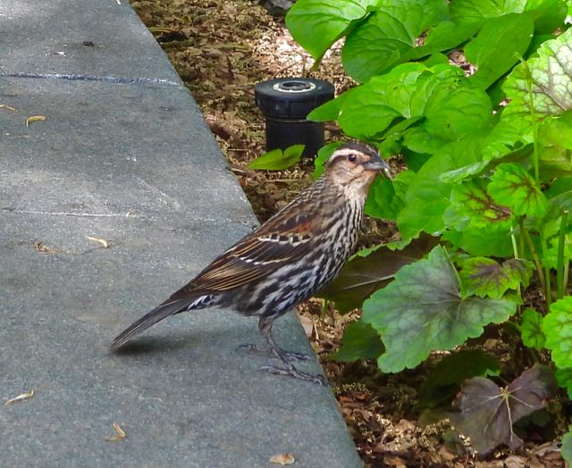
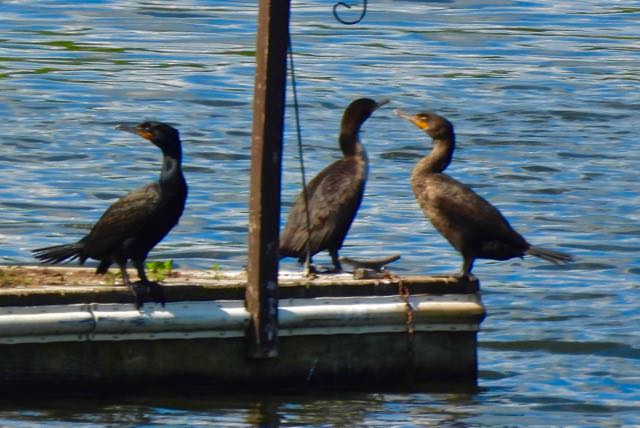
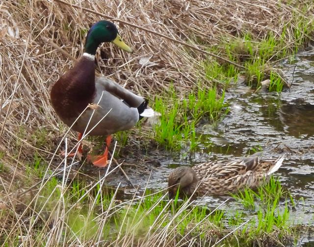
The July 2023 Gallery: More New Sightings of Birds, Wildflowers, Dragonflies, and More

First sighting of a barn swallow, on dam outlet structure, north end of the lake, July 20

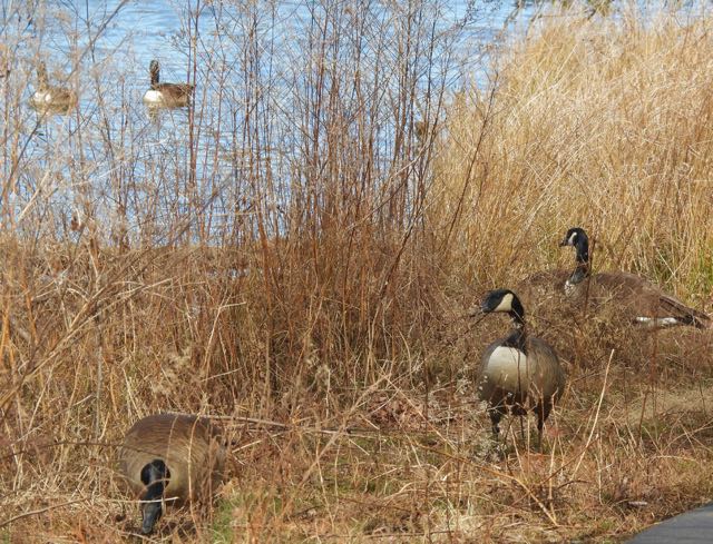
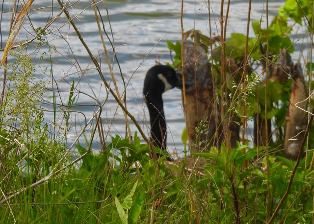
Eleven Canada geese in formation swimming toward southeast cove of the lake

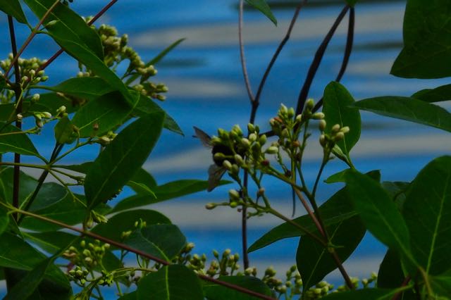
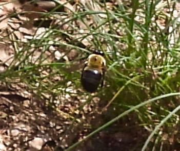
Bumblebee on porcelain berry, west bank of the lake, July 20
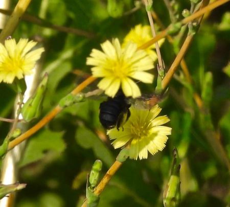
Bumblebee on yellow prickly lettuce bloom, north end of lake, July 26
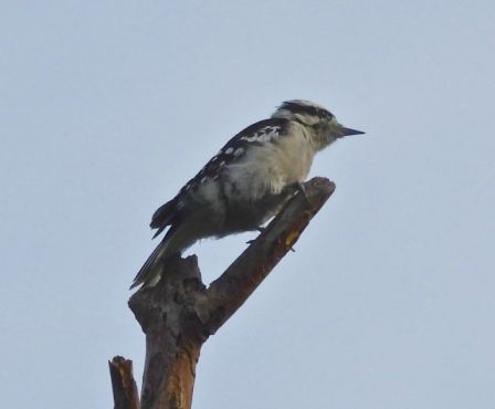
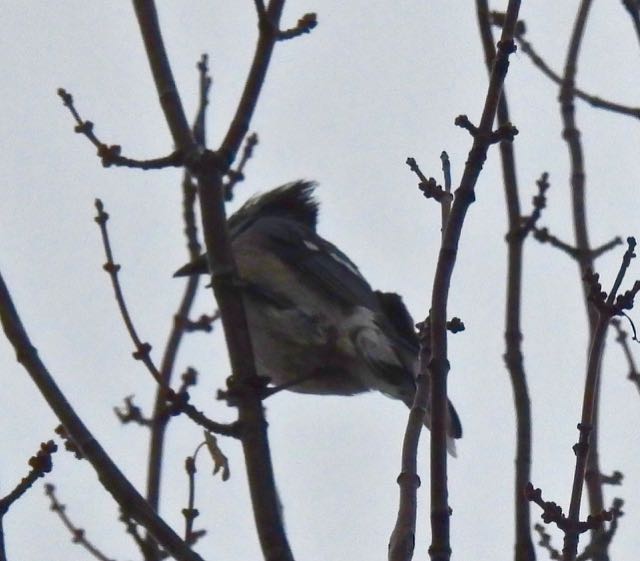
First downy woodpecker of the year, on dead tree at north end of lake, July 22

Giant goldenrod, east side of lake, July 26
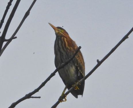
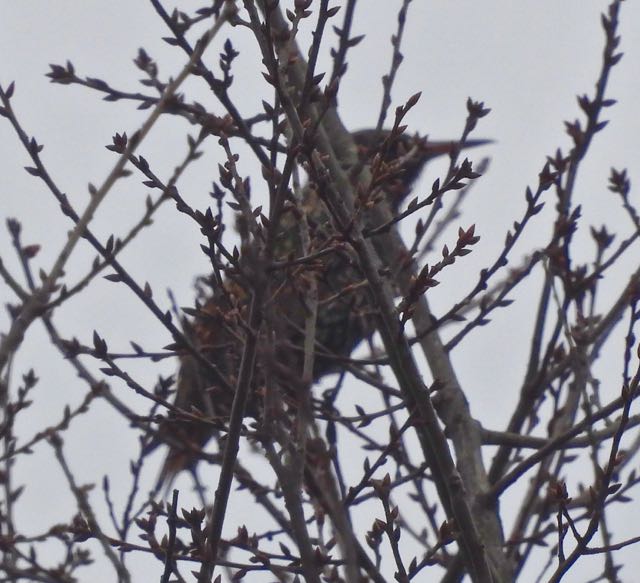
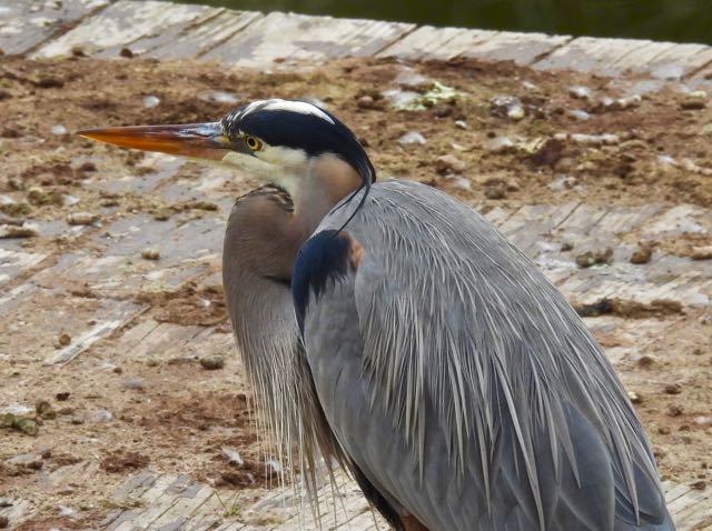
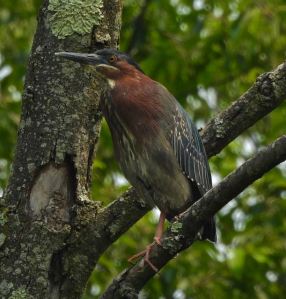
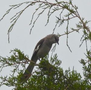
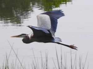
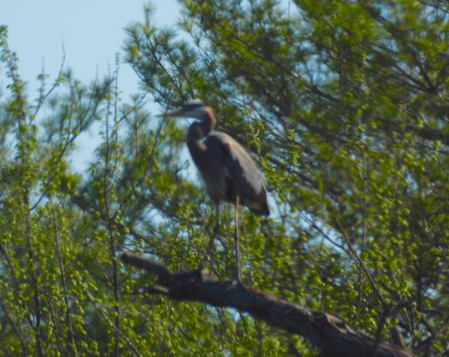
Green heron in willow oak, north end of lake, July 22
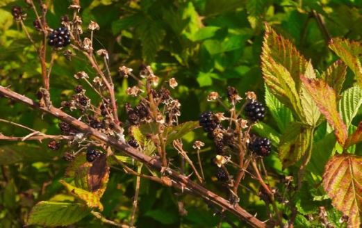
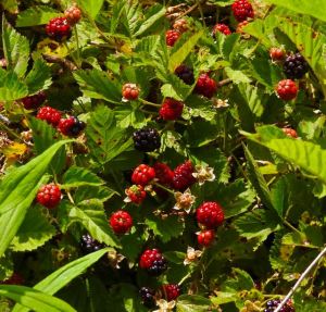
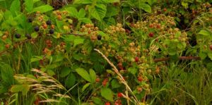
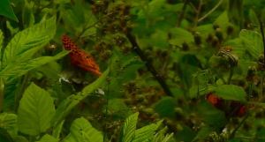
Late ripe blackberries, north end of lake, July 26: the latest are the sweetest.

A rock dove prepares to land at the north end rocks, July 26

Pokeweed starting to bloom with bull thistle on the east bank, July 20

Wild teazel flowers and yellow swallowtail butterfly at north end below the dam, July 20

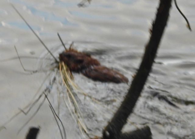
American red squirrel, first sighting, in dead tree in north end woods, July 18

Bee in swamp milkweed, southeast bank, July 14

Cat-o-nine-tails, first sighting, on east bank of lake, July 16

Great blue skimmer dragonfly over the lake, first sighting, east bank, July 15

Halloween pennant dragonfly, first sighting, north end of lake, July 15

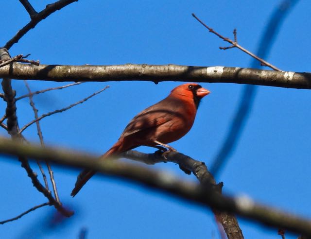
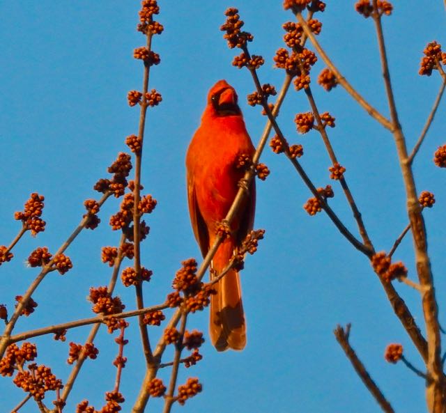
Male cardinal, berry in beak, in sweet viburnum nannyberry tree, east bank of lake, July 18
On to August, with hope for all our lake citizens…


")